|
| *****SWAAG_ID***** | 351 |
| Date Entered | 25/11/2011 |
| Updated on | 25/11/2011 |
| Recorded by | Tim Laurie |
| Category | Tree Site Record |
| Record Type | Botanical HER |
| Site Access | Public Access Land |
| Location | West Stonesdale. Startindale Gill |
| Civil Parish | Muker |
| Brit. National Grid | NY 8850 0410 |
| Altitude | 400m |
| Geology | Sandstones and mudstones below the Crow Limestone. |
| Record Name | MUK130 West Stonesdale. Startindale Gill. Waterfall Ravine. Type A woodland. |
| Record Description | Waterfall and ravine with low cliff outcrops. Relict woodland with rowan and sallow only and acidic vegetation with rare oak fern at falls. |
| Dimensions | See photograph |
| Geographical area | Upper Swaledale |
| Common / Notable Species | Rowan. Sallow. |
| Additional Notes | Whereas the only treee species present are rowan and sallows,there is an interesting acidic vegetation with several woodland indicator plants. |
| Image 1 ID | 1403 Click image to enlarge |
| Image 1 Description | The falls | 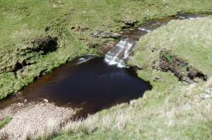 |
| Image 2 ID | 1404 Click image to enlarge |
| Image 2 Description | | 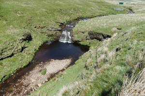 |
| Image 3 ID | 1405 Click image to enlarge |
| Image 3 Description | | 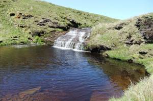 |
| Image 4 ID | 1406 Click image to enlarge |
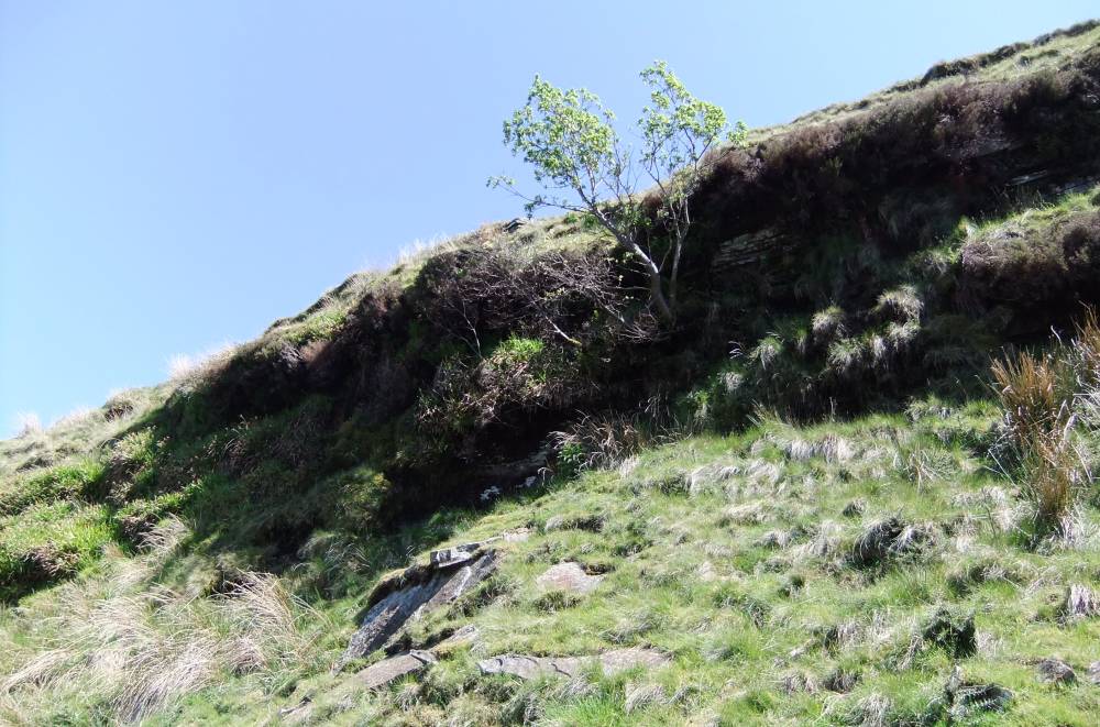
| Image 4 Description | The ravine with isolated rowan. | 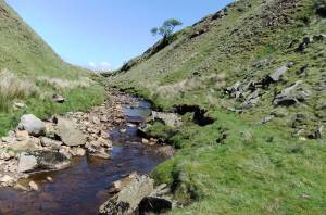 |
| Image 5 ID | 1407 Click image to enlarge |
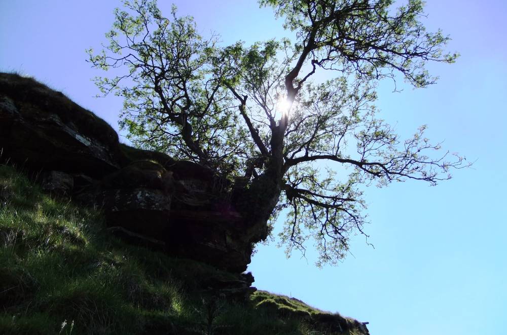
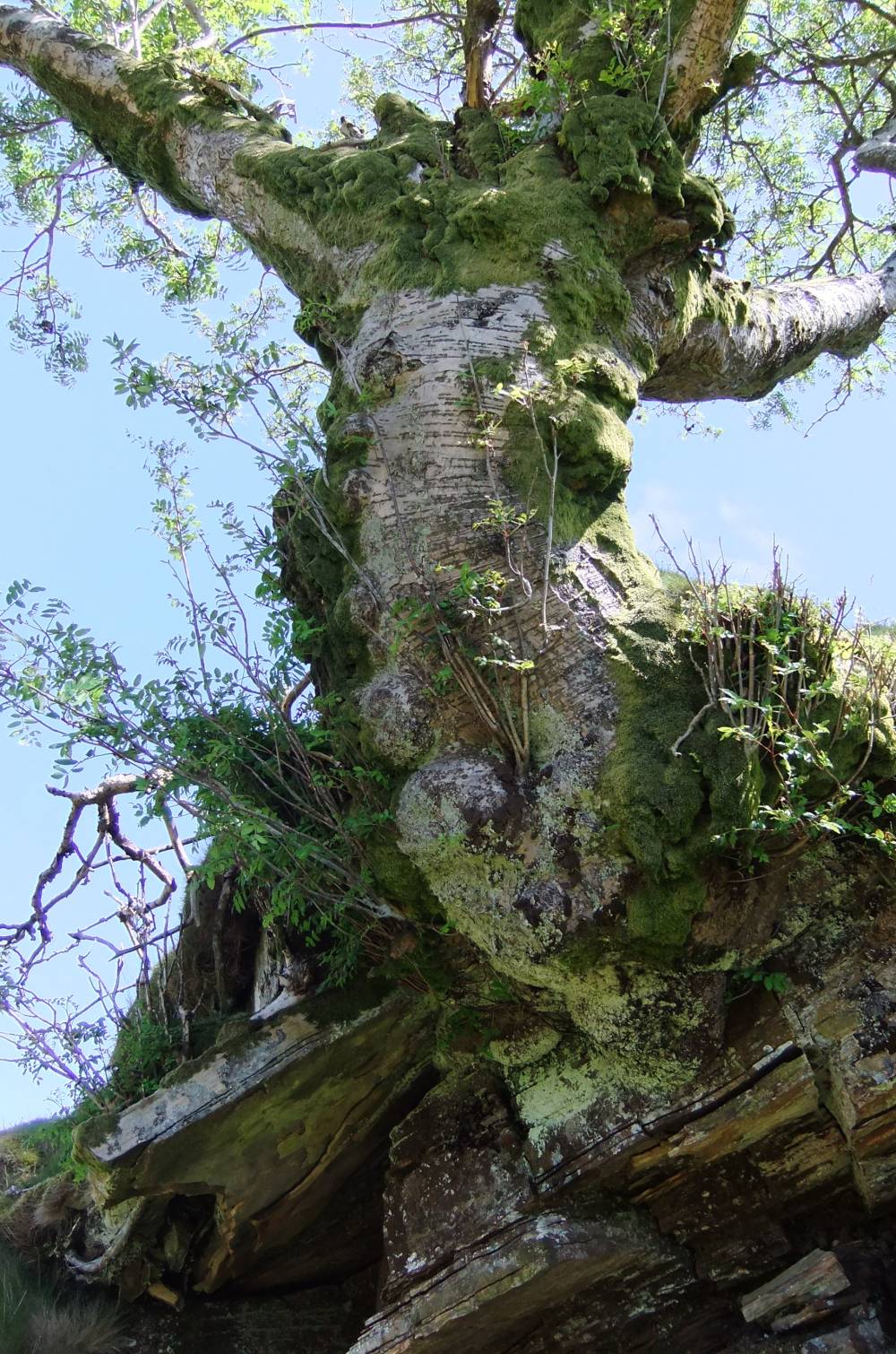
| Image 5 Description | Ancient rowan. | 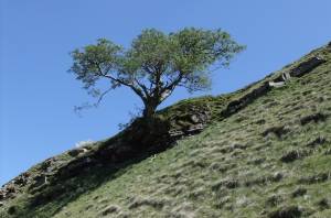 |
| Image 6 ID | 1408 Click image to enlarge |
| Image 6 Description | Ancient rowan. |  |
| Image 7 ID | 1409 Click image to enlarge |
| Image 7 Description | Ancient rowan |  |
| Image 8 ID | 1412 Click image to enlarge |
| Image 8 Description | The falls with low cliff | 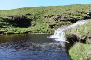 |
| Image 9 ID | 1411 Click image to enlarge |
| Image 9 Description | Oak fern | 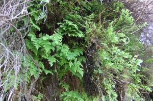 |
| Image 10 ID | 1413 Click image to enlarge |
| Image 10 Description | Low cliff with sallow and woodland indicator vegetation. |  |